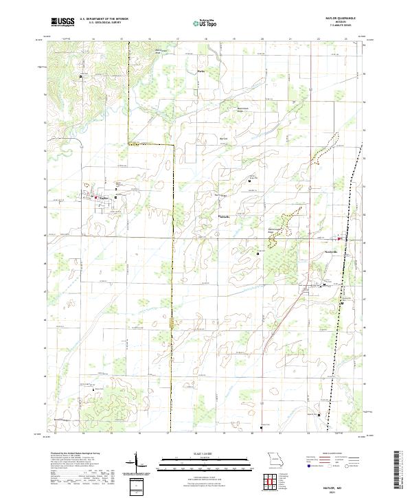
2021 Map of Naylor
USGS Topo · Published 2021About this map
The Little Black River winds through the lowlands of the Missouri-Arkansas border, defining a landscape shaped by an extensive network of drainage projects. This 2021 survey illustrates how the terrain between Naylor and Neelyville has been engineered for agricultural use, evidenced by named channels like Taft Ditch, Harviell Ditch, and Neeleyville Ditch. These waterways cut across a series of subtle elevations, including Harris Ridge and Sharecropper Ridge, which historically provided high ground for settlements and burials in this floodplain environment.
Find a feature on this map
89 named features on this map. Tap any name to fly to it.
Don’t see what you’re looking for? This feature index may not catch every label — zoom into the map to look around manually.
Map Details
Editions of this 2021 Naylor Map
This is the sole edition of this map. No revisions or reprints were ever made.
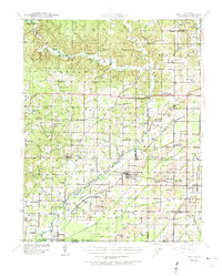
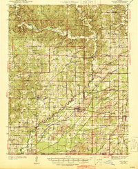
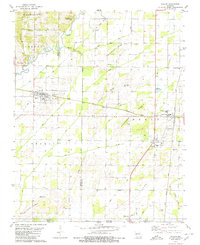
Historical Maps of Naylor Through Time
4 maps found