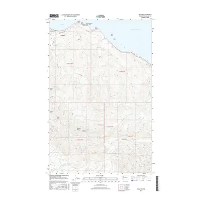
2017 Map of Neah Bay
USGS Topo · Published 2017About this map
Neah Bay serves as the focal point of this coastal landscape, situated at the northwestern tip of Washington where the Strait of Juan de Fuca meets the Pacific. The settlement is defined by its maritime orientation, with residential streets like Woodland Ave and Bayview Ave clustered near the harbor. The coastline is marked by a series of distinct points and coves, including Baada Point, First Beach, and Dtokqah Point, which transition into the dramatic offshore landmarks of Seal Rock and Sail Rock.
Find a feature on this map
45 named features on this map. Tap any name to fly to it.
Don’t see what you’re looking for? This feature index may not catch every label — zoom into the map to look around manually.
Map Details
Editions of this 2017 Neah Bay Map
This is the sole edition of this map. No revisions or reprints were ever made.
Other maps of this area

1935 · Clallam
USGS Topo · 1:62,500

1935 · Ozette Lake
USGS Topo · 1:62,500

1935 · Lake Pleasant
USGS Topo · 1:62,500

1938 · Cape Flattery
USGS Topo · 1:62,500

1942 · Clallam
USGS Topo · 1:62,500

1942 · Ozette Lake
USGS Topo · 1:62,500

1942 · Lake Pleasant
USGS Topo · 1:62,500

1953 · Cape Flattery
USGS Topo · 1:250,000

1956 · Ozette Lake
USGS Topo · 1:62,500

1957 · Lake Pleasant
USGS Topo · 1:62,500