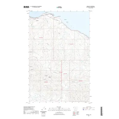
2020 Map of Neah Bay
USGS Topo · Published 2020About this map
Neah Bay serves as the focal point for this coastal survey of the Olympic Peninsula’s northwestern tip. The settlement is positioned along the sheltered waters of the harbor, with Bayview Ave and Holden Creek Ave forming the primary transit corridors through the village. The landscape is defined by its maritime geography, moving from the sandy reaches of First Beach and Second Beach to the prominent offshore landmarks of Seal Rock and Sail Rock.
Find a feature on this map
43 named features on this map. Tap any name to fly to it.
Don’t see what you’re looking for? This feature index may not catch every label — zoom into the map to look around manually.
Map Details
Editions of this 2020 Neah Bay Map
This is the sole edition of this map. No revisions or reprints were ever made.
Other maps of this area

1935 · Clallam
USGS Topo · 1:62,500

1935 · Ozette Lake
USGS Topo · 1:62,500

1935 · Lake Pleasant
USGS Topo · 1:62,500

1938 · Cape Flattery
USGS Topo · 1:62,500

1942 · Clallam
USGS Topo · 1:62,500

1942 · Ozette Lake
USGS Topo · 1:62,500

1942 · Lake Pleasant
USGS Topo · 1:62,500

1953 · Cape Flattery
USGS Topo · 1:250,000

1956 · Ozette Lake
USGS Topo · 1:62,500

1957 · Lake Pleasant
USGS Topo · 1:62,500