2023 Map of Neah Bay
USGS Topo · Published 2023About this map
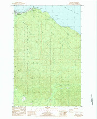
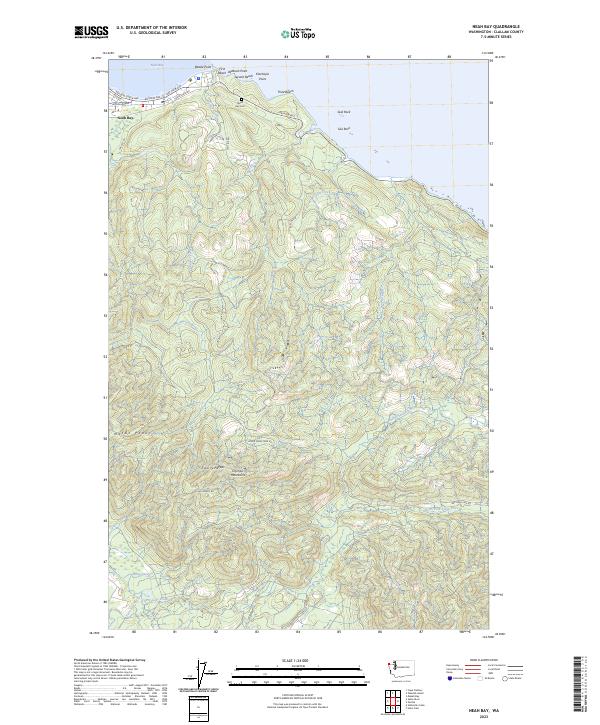
Neah Bay occupies the northwestern corner of the Olympic Peninsula on this coastal survey, where the waters of the Strait of Juan de Fuca meet the intricate shoreline of the Makah Indian Reservation. The settlement centers around Bayview Ave, providing a detailed look at the local street grid near the Neah Bay Cem and the prominent maritime landmarks of Baada Point and D'tokoah Point. The landscape quickly transitions from the developed bayfront to the steep, wooded slopes of the Olympic Mountains.
Find a feature on this map
45 named features on this map. Tap any name to fly to it.
Don’t see what you’re looking for? This feature index may not catch every label — zoom into the map to look around manually.
Map Details
Editions of this 2023 Neah Bay Map
This is the sole edition of this map. No revisions or reprints were ever made.