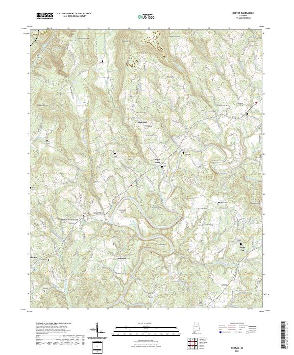
2024 Map of Nectar
USGS Topo · Published 2024About this map
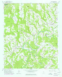
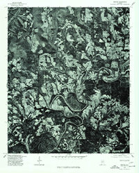
The winding course of the Locust Fork river defines the geography of this Blount County corridor, creating dramatic terrain features like Standridge Bend, Johnson Bend, and Gilman Bend. This landscape is dotted with several small communities and historic crossroads that have anchored the region's rural life for generations. Settlements such as Nectar, High Rock, and Harkness Crossroads are interconnected by a network of local roads including Nectar Bridge Rd and Covered Bridge Rd, indicating a history of river crossings essential for local travel and trade.
Find a feature on this map
58 named features on this map. Tap any name to fly to it.
Don’t see what you’re looking for? This feature index may not catch every label — zoom into the map to look around manually.
Map Details
Editions of this 2024 Nectar Map
This is the sole edition of this map. No revisions or reprints were ever made.