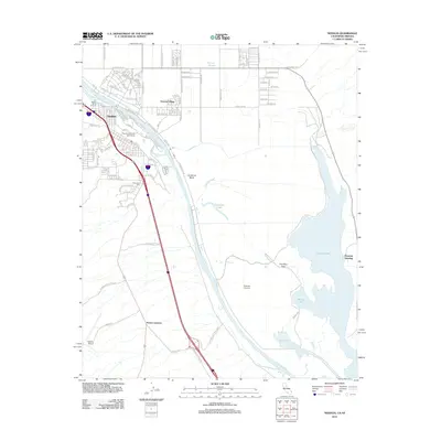
2012 Map of Needles
USGS Topo · Published 2012About this map
The Colorado River forms a dynamic boundary between California and Arizona in this 2012 survey, shaping the development of Needles and its surrounding desert landscape. The map reveals the intricate network of residential streets and community landmarks, including the Needles Municipal Golf Course and the Riverview Cem. To the north, Arizona Village and the Fort Mojave Burial Grounds indicate the area's cultural and historical depth near the river's edge.
Find a feature on this map
113 named features on this map. Tap any name to fly to it.
Don’t see what you’re looking for? This feature index may not catch every label — zoom into the map to look around manually.
Map Details
Editions of this 2012 Needles Map
This is the sole edition of this map. No revisions or reprints were ever made.
Other maps of this area

1903 · Needles
USGS Topo · 1:125,000

1904 · Needles Special
USGS Topo · 1:125,000

1943 · Topock
USGS Topo · 1:62,500

1950 · Topock
USGS Topo · 1:62,500

1950 · Sawtooth Range
USGS Topo · 1:62,500

1950 · Needles
USGS Topo · 1:62,500

1951 · Topock
USGS Topo · 1:62,500

1951 · Sawtooth Range
USGS Topo · 1:62,500

1952 · Needles
USGS Topo · 1:62,500

1954 · Needles
USGS Topo · 1:250,000