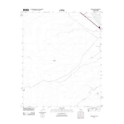
2012 Map of Needles SW
USGS Topo · Published 2012About this map
Needles Airport serves as a modern anchor in this landscape where the Mojave Desert meets the Colorado River valley. The map documents a rugged transition zone defined by the drainage of Hacienda Wash and the complex terrain of Shadow Canyon. Significant transportation history is preserved here through the alignment of the National Old Trails Hwy, an early transcontinental route that preceded the modern interstate system. The desert floor is bisected by several primitive routes and named paths such as Eagle Pass Rd, which leads toward the distinct geographic notch of Eagle Pass. Local infrastructure near the river is detailed through a network of smaller roads like Needles Hwy, Dike Rd, and Front St, reflecting the specialized utility and access required by the riverfront environment.
Find a feature on this map
18 named features on this map. Tap any name to fly to it.
Don’t see what you’re looking for? This feature index may not catch every label — zoom into the map to look around manually.
Map Details
Editions of this 2012 Needles SW Map
This is the sole edition of this map. No revisions or reprints were ever made.
Other maps of this area

1903 · Needles
USGS Topo · 1:125,000

1904 · Needles Special
USGS Topo · 1:125,000

1943 · Center Hills
USGS Topo · 1:62,500

1943 · Bannock
USGS Topo · 1:62,500

1950 · Sawtooth Range
USGS Topo · 1:62,500

1950 · Needles
USGS Topo · 1:62,500

1951 · Sawtooth Range
USGS Topo · 1:62,500

1952 · Needles
USGS Topo · 1:62,500

1954 · Needles
USGS Topo · 1:250,000

1956 · Needles
USGS Topo · 1:250,000