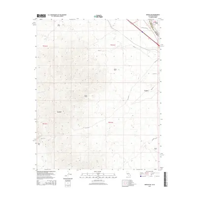
2015 Map of Needles SW
USGS Topo · Published 2015About this map
The Sacramento Mountains dominate this California-Arizona border landscape, rising sharply above the eastern edge of the Mojave Desert. This 2015 survey captures the transition from the high desert terrain of Piute Valley to the low-lying Mohave Valley along the Colorado River basin. The western outskirts of Needles are visible in the northeast, where modern infrastructure like the Needles Airport meets historic transportation corridors. Grounded in the region's long history as a desert crossing, the map shows the enduring route of the National Old Trails Rd and the Dike Rd along the state line. Topographic details reveal a network of drainage systems like Hacienda Wash and significant geological features such as Shadow Canyon and Eagle Pass, illustrating the challenging environment that shaped local settlement and road placement.
Find a feature on this map
17 named features on this map. Tap any name to fly to it.
Don’t see what you’re looking for? This feature index may not catch every label — zoom into the map to look around manually.
Map Details
Editions of this 2015 Needles SW Map
This is the sole edition of this map. No revisions or reprints were ever made.
Other maps of this area

1903 · Needles
USGS Topo · 1:125,000

1904 · Needles Special
USGS Topo · 1:125,000

1943 · Center Hills
USGS Topo · 1:62,500

1943 · Bannock
USGS Topo · 1:62,500

1950 · Sawtooth Range
USGS Topo · 1:62,500

1950 · Needles
USGS Topo · 1:62,500

1951 · Sawtooth Range
USGS Topo · 1:62,500

1952 · Needles
USGS Topo · 1:62,500

1954 · Needles
USGS Topo · 1:250,000

1956 · Needles
USGS Topo · 1:250,000