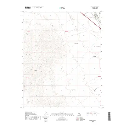
2018 Map of Needles SW
USGS Topo · Published 2018About this map
The Colorado River forms a critical border between San Bernardino County, California and Mohave County, Arizona on this 2018 topographic survey. The city of Needles serves as a focal point in the northeast, where Historic Route 66 and Dike Road facilitate travel through the desert landscape. To the south, the Needles Airport and Monumental Pass Road suggest the continued importance of this corridor for regional transit and aviation.
Find a feature on this map
21 named features on this map. Tap any name to fly to it.
Don’t see what you’re looking for? This feature index may not catch every label — zoom into the map to look around manually.
Map Details
Editions of this 2018 Needles SW Map
This is the sole edition of this map. No revisions or reprints were ever made.
Other maps of this area

1903 · Needles
USGS Topo · 1:125,000

1904 · Needles Special
USGS Topo · 1:125,000

1943 · Center Hills
USGS Topo · 1:62,500

1943 · Bannock
USGS Topo · 1:62,500

1950 · Sawtooth Range
USGS Topo · 1:62,500

1950 · Needles
USGS Topo · 1:62,500

1951 · Sawtooth Range
USGS Topo · 1:62,500

1952 · Needles
USGS Topo · 1:62,500

1954 · Needles
USGS Topo · 1:250,000

1956 · Needles
USGS Topo · 1:250,000