Loading...
Loading map...2023 Map of Needmore
USGS Topo · Published 2023About this map
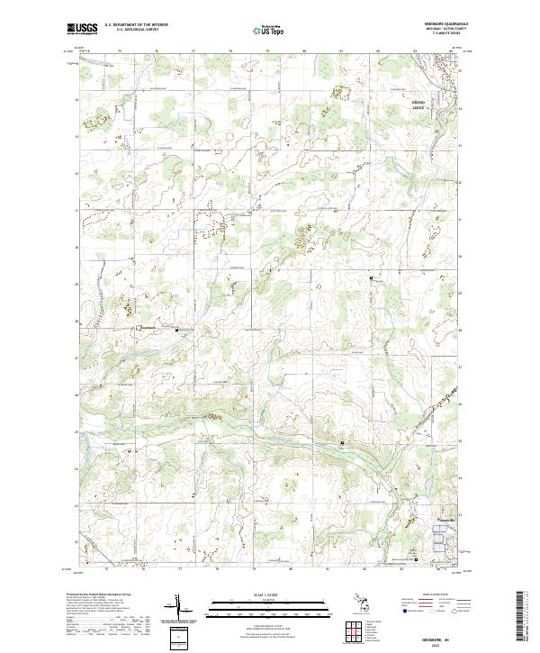
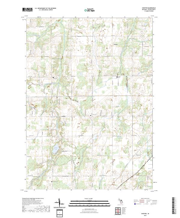
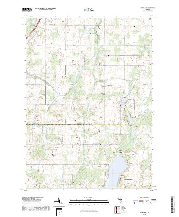
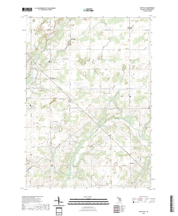
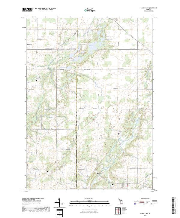
Grand Ledge and Potterville anchor the corners of this Eaton County landscape, where the terrain is defined by a dense network of managed waterways and natural river systems. The Thorapple River and its tributary, the Little Thornapple River, wind through the southern sections, while a complex system of agricultural drainage, including the Wright Pardee Skinner Drain and Patterson and Dubois Drain, illustrates the area's long-term reclamation for farming.
Find a feature on this map
56 named features on this map. Tap any name to fly to it.
Don’t see what you’re looking for? This feature index may not catch every label — zoom into the map to look around manually.
Map Details
Date Portrayed2023
Date Published2023
PublisherU.S. Geological Survey
Map TypeTopographic
Scale1:24000
Physical Dimensions24 x 29 inches
Editions of this 2023 Needmore Map
This is the sole edition of this map. No revisions or reprints were ever made.
Historical Maps of Benton Township Through Time
10 maps found
Featured Locations
Source Details
SourceU.S. Geological Survey
CopyrightPublic Domain