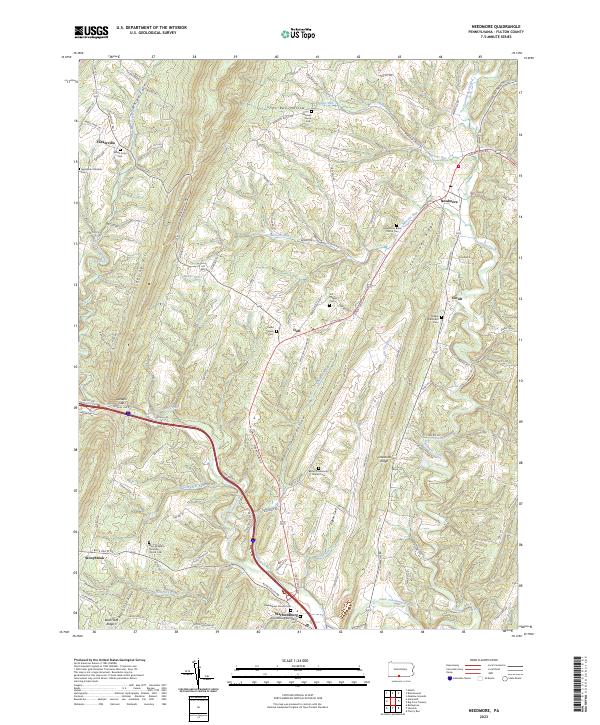
2023 Map of Needmore
USGS Topo · Published 2023About this map
Warfordsburg and Needmore anchor this landscape where the ridge-and-valley topography of south-central Pennsylvania dictates the flow of human settlement. The map reveals a high concentration of historic burial sites and rural congregations, such as Jerusalem Christian Cem and Mays Chapel Christian Church Cem, clustered along the valley floors between the prominent heights of Sideling Hill and Tonoloway Ridge. The drainage patterns of Little Tonoloway Creek and its various tributaries like Pigeon Run and Barnetts Run have historically guided the road networks, including Great Cove Rd, which connects the small hamlets of Dott and Covalt. This modern survey documents the persistent rural character of Fulton County, showing how family-named landmarks and small crossroads communities continue to define the area north of the Mason-Dixon line.
Find a feature on this map
112 named features on this map. Tap any name to fly to it.
Don’t see what you’re looking for? This feature index may not catch every label — zoom into the map to look around manually.
Map Details
Editions of this 2023 Needmore Map
This is the sole edition of this map. No revisions or reprints were ever made.
Other maps of this area

1898 · Paw Paw
USGS Topo · 1:62,500

1899 · Hancock
USGS Topo · 1:62,500

1900 · Pawpaw
USGS Topo · 1:62,500

1901 · Hancock
USGS Topo · 1:62,500

1910 · Paw Paw
USGS Topo · 1:62,500

1925 · Needmore
USGS Topo · 1:48,000

1927 · Clearville
USGS Topo · 1:48,000

1931 · Clearville
USGS Topo · 1:62,500

1935 · Needmore
USGS Topo · 1:62,500

1939 · Needmore
USGS Topo · 1:62,500
Featured Places
- Belfast Township, PA
- Brush Creek Township, PA
- Stonybreak, Bethel Township
- Warfordsburg, Bethel Township
- Covalt, Thompson Township