Loading...
Loading map...2022 Map of Neillsville
USGS Topo · Published 2022About this map
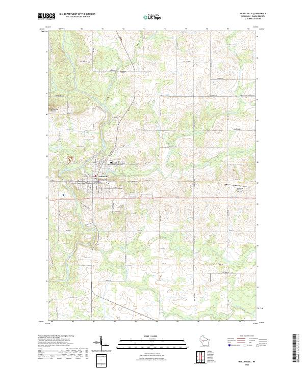
Neillsville serves as the central hub of this Clark County survey, situated where O'Neill Cr and its northern and southern branches converge. The settlement is defined by its civic and community landmarks, including the Clark County Courthouse and two significant burial grounds, Saint Marys Cem and the Neillsville City Cem. The landscape is carved by an extensive network of waterways, most notably the Black River which winds through the western portion of the area.
Find a feature on this map
84 named features on this map. Tap any name to fly to it.
Don’t see what you’re looking for? This feature index may not catch every label — zoom into the map to look around manually.
Map Details
Date Portrayed2022
Date Published2022
PublisherU.S. Geological Survey
Map TypeTopographic
Scale1:24000
Physical Dimensions24 x 29 inches
Editions of this 2022 Neillsville Map
This is the sole edition of this map. No revisions or reprints were ever made.
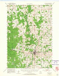
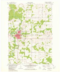
Historical Maps of Neillsville Through Time
3 maps found
Featured Locations
Source Details
SourceU.S. Geological Survey
CopyrightPublic Domain