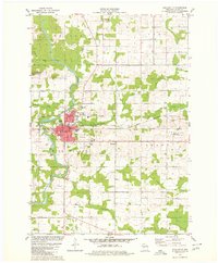
1979 Map of Neillsville
USGS Topo · Published 1980About this map
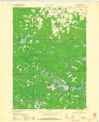
The Black River carves a winding path through this central Wisconsin landscape, anchoring the city of Neillsville as it appeared in the late 1970s. The town's grid is concentrated near the confluence of O'Neill Creek and the river, showing a developed urban core with its Courthouse and several local institutions. Beyond the residential streets, the land reflects a mix of civic and industrial activity, from the Fairground and Golf Course to the Neillsville Municipal Airport on the eastern edge.
Find a feature on this map
36 named features on this map. Tap any name to fly to it.
Don’t see what you’re looking for? This feature index may not catch every label — zoom into the map to look around manually.
Map Details
Editions of this 1979 Neillsville Map
This is the sole edition of this map. No revisions or reprints were ever made.
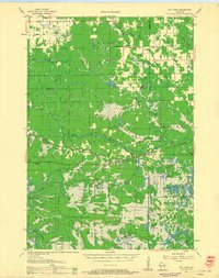
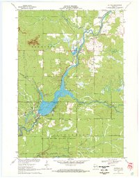
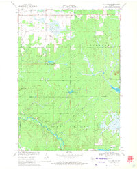
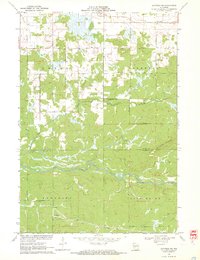
Other maps of this area
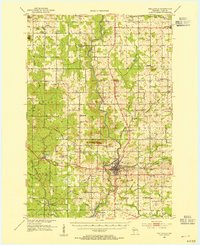
1953 · Neillsville
USGS Topo · 1:62,500

1953 · Eau Claire
USGS Topo · 1:250,000
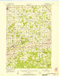
1954 · Granton
USGS Topo · 1:62,500
1957 · City Point
USGS Topo · 1:48,000

1958 · Eau Claire
USGS Topo · 1:250,000
1958 · Hatfield
USGS Topo · 1:48,000

1964 · Eau Claire
USGS Topo · 1:250,000
1970 · Hatfield
USGS Topo · 1:24,000
1970 · City Point NW
USGS Topo · 1:24,000
1970 · Hatfield NE
USGS Topo · 1:24,000