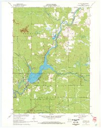
1970 Map of Hatfield
USGS Topo · Published 1972About this map
Arbutus Lake dominates this central Wisconsin landscape at the intersection of Clark and Jackson counties, where the Black River flows through the unincorporated settlement of Hatfield. The map reveals a post-railroad era transition, documenting the Old Railroad Grade and Old Highway 54 as the region shifted toward recreation and state land management. Much of the southern territory is preserved within the Black River State Forest, while the northern portion remains characterized by timbered mounds such as Levis Mound and Trow Mounds. Local history is anchored by rural institutions like the Clay School and the Dells Dam Cem, alongside active recreational sites like the Boy Scout Camp and the East Fork Recreation Area. The prevalence of numerous Gravel Pits along the river banks points to the local extraction industry that shaped the valley's terrain during this period.
Find a feature on this map
39 named features on this map. Tap any name to fly to it.
Don’t see what you’re looking for? This feature index may not catch every label — zoom into the map to look around manually.
Map Details
Editions of this 1970 Hatfield Map
2 editions found
Other maps of this area

1924 · Black River Falls
USGS Topo · 1:62,500

1926 · Black River Falls
USGS Topo · 1:62,500

1948 · Fairchild
USGS Topo · 1:62,500

1949 · Fairchild
USGS Topo · 1:62,500

1953 · Neillsville
USGS Topo · 1:62,500

1953 · Eau Claire
USGS Topo · 1:250,000

1958 · Eau Claire
USGS Topo · 1:250,000

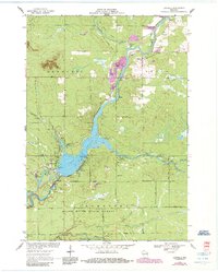
1958 · Hatfield
USGS Topo · 1:48,000

1964 · Eau Claire
USGS Topo · 1:250,000
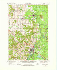
1968 · Black River Falls
USGS Topo · 1:62,500