
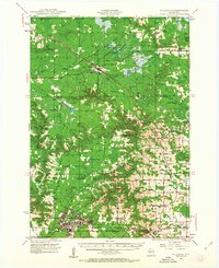
1926 Map of Black River Falls
USGS Topo · Published 1926About this map
Black River Falls serves as the focal point of this mid-1920s survey, where the Black River bends through a landscape defined by prominent geological formations and a dense network of early rural institutions. The map illustrates a transitional period of transportation, showing the intersection of the Chicago St Paul Minneapolis and Omaha and Green Bay and Western railroads alongside early designated routes like State Trunk Highway No 12.
Find a feature on this map
69 named features on this map. Tap any name to fly to it.
Don’t see what you’re looking for? This feature index may not catch every label — zoom into the map to look around manually.
Map Details
Editions of this 1926 Black River Falls Map
This is the sole edition of this map. No revisions or reprints were ever made.
Other maps of this area

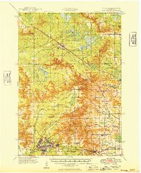
1924 · Black River Falls
USGS Topo · 1:62,500

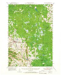
1926 · North Bend
USGS Topo · 1:62,500

1927 · Blair
USGS Topo · 1:62,500

1928 · Melrose
USGS Topo · 1:48,000

1929 · North Bend
USGS Topo · 1:62,500

1935 · Osseo
USGS Topo · 1:48,000

1940 · Osseo
USGS Topo · 1:62,500
1947 · Millston
USGS Topo · 1:62,500
1948 · Fairchild
USGS Topo · 1:62,500
1949 · Millston
USGS Topo · 1:62,500