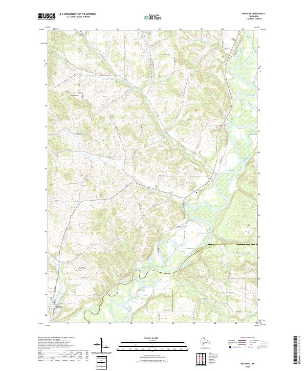
1928 Map of Melrose
USGS Topo · Published 1928About this map
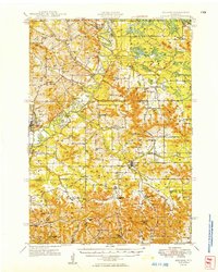
The Black River corridor defines this 1920s landscape as it winds through Jackson and Monroe Counties, serving as the central artery for a region of high ridges and narrow valleys. This advance sheet captures the rural infrastructure of the era, showing a high density of one-room schoolhouses like Sunny Vale Sch and Irving School No 4 serving dispersed farmsteads. The terrain is marked by family-named landmarks and distinct coulees, particularly in the south near Waville and Upper Burns.
Find a feature on this map
40 named features on this map. Tap any name to fly to it.
Don’t see what you’re looking for? This feature index may not catch every label — zoom into the map to look around manually.
Map Details
Editions of this 1928 Melrose Map
This is the sole edition of this map. No revisions or reprints were ever made.
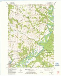
Historical Maps of Sparta Through Time
4 maps found