
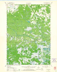
1926 Map of North Bend
USGS Topo · Published 1965About this map
The Black River meanders through the heart of this mid-1920s landscape, serving as a natural boundary between the townships of North Bend, Farmington, and Gale. The terrain is characterized by a dense network of coulees, including Washington Coulee and Joe Coulee, which dictate the placement of early rural infrastructure. This period shows a high concentration of one-room schoolhouses such as the Little Red Sch, Whalen Sch, and the uniquely named Cuffy Knob Sch, illustrating the decentralized nature of rural education before mid-century consolidation.
Find a feature on this map
75 named features on this map. Tap any name to fly to it.
Don’t see what you’re looking for? This feature index may not catch every label — zoom into the map to look around manually.
Map Details
Editions of this 1926 North Bend Map
This is the sole edition of this map. No revisions or reprints were ever made.
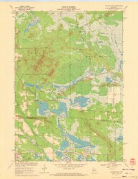
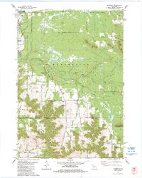
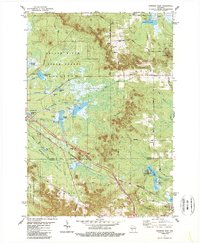
Historical Maps of Irving Through Time
21 maps found
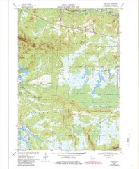
1926 North Bend
Jackson County, WI

1929 North Bend
Jackson County, WI
1957 City Point
Jackson County, WI
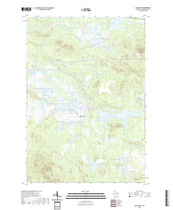
1969 North Bend NE
Jackson County, WI
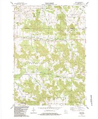
1970 Hatfield SE
Jackson County, WI
1970 Hatfield SW
Jackson County, WI
1970 Spaulding
Jackson County, WI
1970 Warrens East
Jackson County, WI
1983 Shamrock
Jackson County, WI
1983 Warrens West
Jackson County, WI
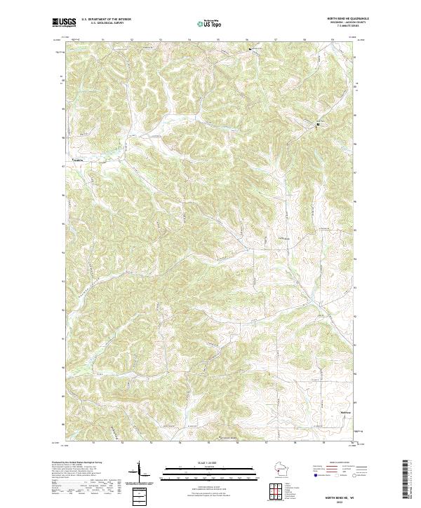
1984 Price
Jackson County, WI

1984 Stenulson Coulee
Jackson County, WI
2022 Hatfield SE
Jackson County, WI
2022 North Bend NE
Jackson County, WI
2022 Price
Jackson County, WI
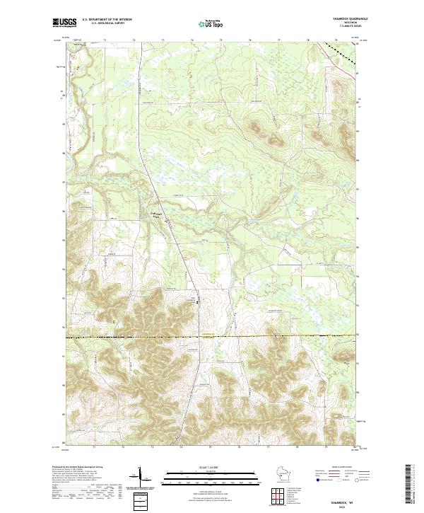
2022 Shamrock
Jackson County, WI
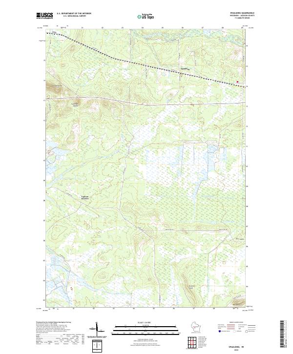
2022 Spaulding
Jackson County, WI
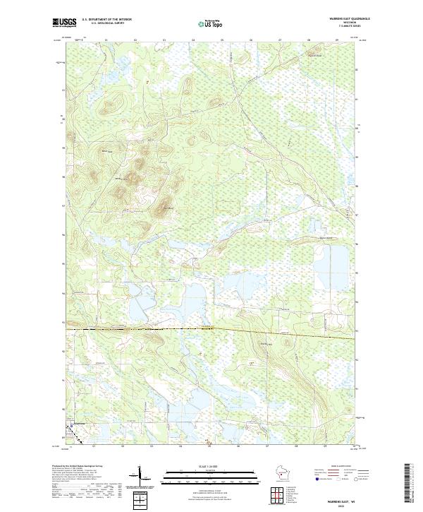
2022 Warrens East
Jackson County, WI
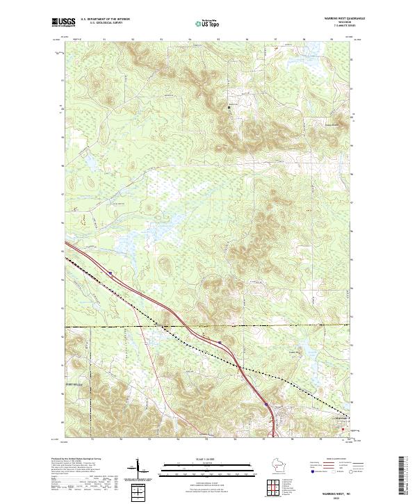
2022 Warrens West
Jackson County, WI
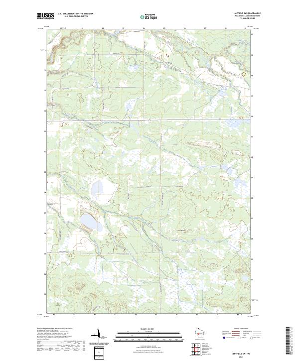
2023 Hatfield SW
Jackson County, WI
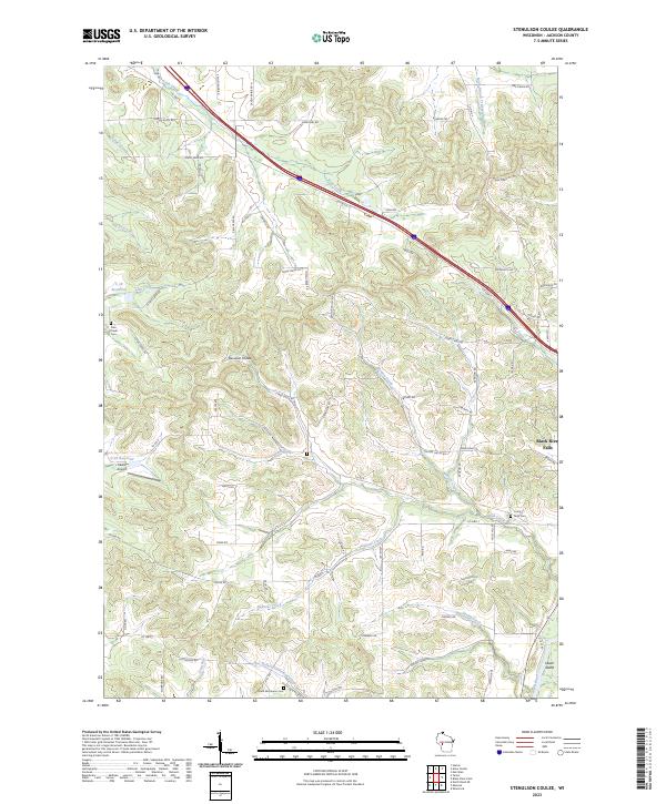
2023 Stenulson Coulee
Jackson County, WI