
1947 Map of Millston
USGS Topo · Published 1963About this map
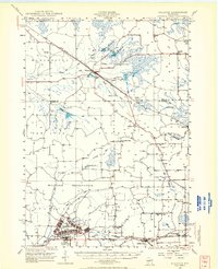
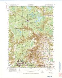
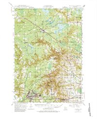
Camp McCoy Military Reservation dominates the southern landscape of this 1940s survey, illustrating the significant military presence in Jackson and Monroe counties during and after the war. The map documents the sprawling infrastructure of Camp McCoy, including its extensive rail spurs and network of barracks. To the north, the terrain transitions into a region of managed water and bogs, evidenced by the Pigeon Creek Flowage and Shamrock Flowage. The Chicago and North Western and Minneapolis St Paul and Sault Ste Marie railroads serve as primary transit corridors, connecting settlements like Millston and Warrens. Rural life is preserved through numerous country schools such as Oakdale Sch and White Sch, along with landmarks like Castle Rock and the Oak Ridge Fire Tower.
Find a feature on this map
47 named features on this map. Tap any name to fly to it.
Don’t see what you’re looking for? This feature index may not catch every label — zoom into the map to look around manually.
Map Details
Editions of this 1947 Millston Map
4 editions found
Other maps of this area

1909 · Sparta
USGS Topo · 1:62,500

1916 · Tomah
USGS Topo · 1:62,500

1919 · Kendall
USGS Topo · 1:62,500

1921 · Kendall
USGS Topo · 1:62,500

1924 · Black River Falls
USGS Topo · 1:62,500

1926 · Black River Falls
USGS Topo · 1:62,500

1928 · Melrose
USGS Topo · 1:48,000

1947 · Sparta
USGS Topo · 1:62,500

1949 · Millston
USGS Topo · 1:62,500

1949 · Sparta
USGS Topo · 1:62,500