Loading...
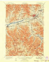
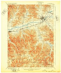
Loading map...1949 Map of Sparta
USGS Topo · Published 1949About this map
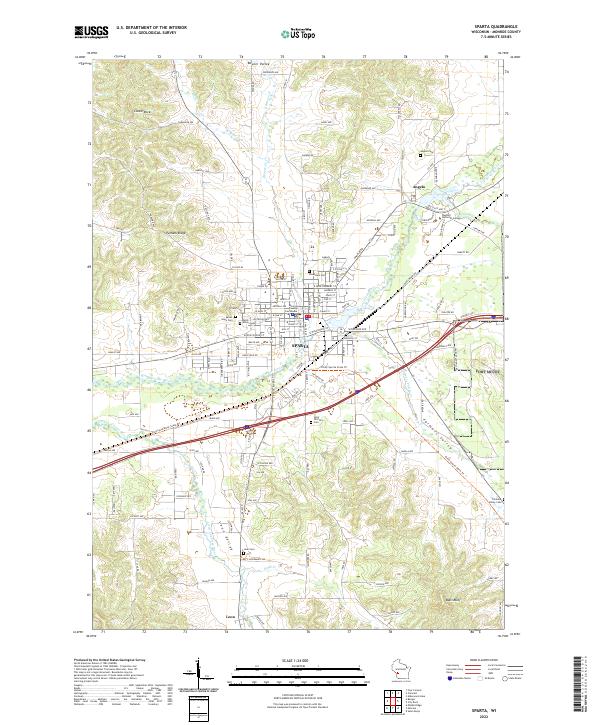
The La Crosse River valley and its tributary networks define this post-war landscape of rural Wisconsin, where the industrial hubs of Sparta and Bangor are linked by the Chicago and North Western and Chicago Milwaukee St Paul and Pacific railroads. The map reveals a dense network of country education and faith, with dozens of local landmarks such as Striped Sch, Hylandale Academy, and the Fish Creek Ridge Ch serving the surrounding farming valleys.
Find a feature on this map
59 named features on this map. Tap any name to fly to it.
Don’t see what you’re looking for? This feature index may not catch every label — zoom into the map to look around manually.
Map Details
Date Portrayed1949
Date Published1949
PublisherU.S. Geological Survey
Map TypeTopographic
Scale1:62,500
Physical Dimensions16.51 x 21.07 inches
Editions of this 1949 Sparta Map
This is the sole edition of this map. No revisions or reprints were ever made.
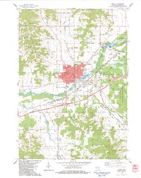
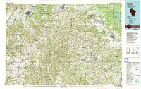
Historical Maps of Sparta Through Time
6 maps found

Featured Locations
Source Details
SourceU.S. Geological Survey
CopyrightPublic Domain