
Loading...
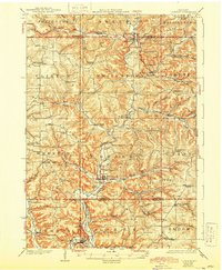
Loading map...1926 Map of La Farge
USGS Topo · Published 1926About this map
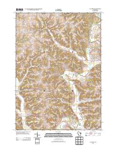
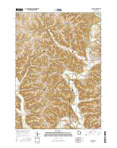
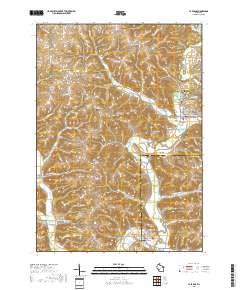
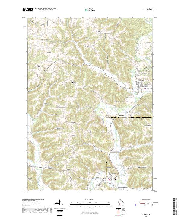
The Kickapoo River carves a deep path through the heart of this Driftless Area landscape, serving as the central artery for the village of La Farge and the surrounding township of Stark. In the 1920s, this region was defined by a dense network of one-room schoolhouses, such as Johnniecake School and Sugar Grove School, which anchored rural communities nestled in the numerous branching coulees.
Find a feature on this map
97 named features on this map. Tap any name to fly to it.
Don’t see what you’re looking for? This feature index may not catch every label — zoom into the map to look around manually.
Map Details
Date Portrayed1926
Date Published1926
PublisherU.S. Geological Survey
Map TypeTopographic
Scale1:62,500
Physical Dimensions16.64 x 20.19 inches
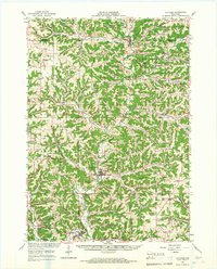
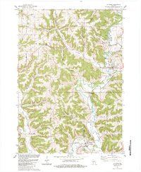
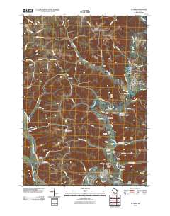
Editions of this 1926 La Farge Map
3 editions found

Historical Maps of La Farge Through Time
8 maps found
Featured Locations
Source Details
SourceU.S. Geological Survey
CopyrightPublic Domain