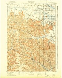
1919 Map of Kendall
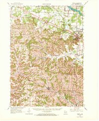
USGS Topo · Published 1959About this map
The Chicago and Northwestern RR and the Chicago Milwaukee and St Paul RR intersect in this corner of Wisconsin, carving through a landscape defined by dramatic bluffs and ridge-top farming communities. In 1919, the area was densely dotted with rural schools like Little Ireland School and Tug Hollow School, reflecting the dispersed settlement patterns of the era. The terrain transitions from the broader valleys of the Lemonweir River near Hustler and Camp Douglas to the more dissected ridges of the Dorset Ridge area, where the Dorset Ridge Church stood as a local landmark. A notable concentration of prominent rock formations, including Mill Bluff and Castle Bluff, rise above the plains in the east, adjacent to the Wisconsin Military Reservation. This topography dictated the winding paths of roads through the Wolf Valley and Homewood Valley, connecting small hamlets like Kendall and Glendale.
Find a feature on this map
96 named features on this map. Tap any name to fly to it.
Don’t see what you’re looking for? This feature index may not catch every label — zoom into the map to look around manually.
Map Details
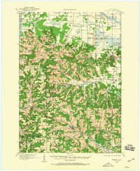
Editions of this 1919 Kendall Map
This is the sole edition of this map. No revisions or reprints were ever made.