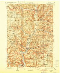
1926 Map of La Farge
USGS Topo · Published 1944About this map
The Kickapoo River carves a winding path through this corner of the Driftless Area during the early 1920s, defining a landscape of high ridges and deep-set valleys. The Chicago Milwaukee St. Paul and Pacific railroad follows the river's edge, connecting the trade centers of La Farge and Viola. This era shows a remarkably dense network of rural infrastructure, with nearly every valley and ridge supporting its own local institution, from the Johnniecake School and Gallagher School in the north to the Plainview School in the south.
Find a feature on this map
91 named features on this map. Tap any name to fly to it.
Don’t see what you’re looking for? This feature index may not catch every label — zoom into the map to look around manually.
Map Details
Editions of this 1926 La Farge Map
3 editions found
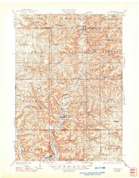
Other maps of this area

1905 · Richland Center
USGS Topo · 1:125,000

1909 · Sparta
USGS Topo · 1:62,500

1916 · Tomah
USGS Topo · 1:62,500

1919 · Kendall
USGS Topo · 1:62,500

1921 · Kendall
USGS Topo · 1:62,500

1923 · Viroqua
USGS Topo · 1:62,500

1924 · Gays Mills
USGS Topo · 1:62,500

1926 · Gays Mills
USGS Topo · 1:62,500

1926 · Viroqua
USGS Topo · 1:62,500

1926 · La Farge
USGS Topo · 1:62,500