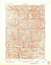
1926 Map of La Farge
USGS Topo · Published 1948About this map
La Farge and the surrounding Driftless Area terrain are captured here during a period of dense rural settlement and established rail transport. The Chicago Milwaukee and St Paul River line parallels the winding Kickapoo River, connecting the town with northern villages like Rockton and Ontario. The landscape is defined by its deep valleys and high ridges, including Wildcat Hill and Mt Pisgah, where the topography dictated the placement of dozens of country schoolhouses.
Find a feature on this map
77 named features on this map. Tap any name to fly to it.
Don’t see what you’re looking for? This feature index may not catch every label — zoom into the map to look around manually.
Map Details
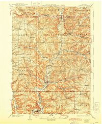
Editions of this 1926 La Farge Map
3 editions found
Other maps of this area

1905 · Richland Center
USGS Topo · 1:125,000

1909 · Sparta
USGS Topo · 1:62,500

1916 · Tomah
USGS Topo · 1:62,500

1919 · Kendall
USGS Topo · 1:62,500

1921 · Kendall
USGS Topo · 1:62,500

1923 · Viroqua
USGS Topo · 1:62,500

1924 · Gays Mills
USGS Topo · 1:62,500

1926 · Gays Mills
USGS Topo · 1:62,500

1926 · Viroqua
USGS Topo · 1:62,500

1926 · La Farge
USGS Topo · 1:62,500