
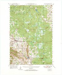
1948 Map of Fairchild
USGS Topo · Published 1966About this map
Glacial geology and rural settlement intersect in this late 1940s landscape where Eau Claire, Clark, and Jackson Counties meet. The terrain is defined by prominent topographical features like Iron Mound and Wildcat Mound, with the Twin Mound Fire Tower providing a strategic vantage over the timbered lowlands. These isolated mounds rise sharply above the drainages of the Eau Claire River and Halls Creek, creating a distinctive island-hill geography that historically influenced the placement of farms and rail lines.
Find a feature on this map
52 named features on this map. Tap any name to fly to it.
Don’t see what you’re looking for? This feature index may not catch every label — zoom into the map to look around manually.
Map Details
Editions of this 1948 Fairchild Map
2 editions found
Other maps of this area

1924 · Black River Falls
USGS Topo · 1:62,500

1926 · Black River Falls
USGS Topo · 1:62,500

1927 · Blair
USGS Topo · 1:62,500

1935 · Osseo
USGS Topo · 1:48,000

1940 · Osseo
USGS Topo · 1:62,500

1949 · Fairchild
USGS Topo · 1:62,500

1952 · Cadott
USGS Topo · 1:62,500

1952 · Stanley
USGS Topo · 1:62,500

1953 · Neillsville
USGS Topo · 1:62,500

1953 · Owen
USGS Topo · 1:48,000