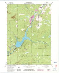
1970 Map of Hatfield
USGS Topo · Published 1985About this map
Lake Arbutus dominates this central Wisconsin landscape, serving as a focal point for recreation and industry on the Black River. The settlement of Hatfield is situated along its western shore, adjacent to the Gb & W railroad line and the expansive Black River State Forest. The map reveals a transition from the river's numerous rapids to the more tranquil waters of Klimas Bay and Ozbow Pond.
Find a feature on this map
43 named features on this map. Tap any name to fly to it.
Don’t see what you’re looking for? This feature index may not catch every label — zoom into the map to look around manually.
Map Details
Editions of this 1970 Hatfield Map
2 editions found
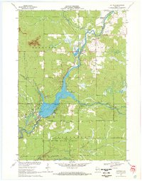
Other maps of this area

1924 · Black River Falls
USGS Topo · 1:62,500

1926 · Black River Falls
USGS Topo · 1:62,500

1948 · Fairchild
USGS Topo · 1:62,500

1949 · Fairchild
USGS Topo · 1:62,500

1953 · Neillsville
USGS Topo · 1:62,500

1953 · Eau Claire
USGS Topo · 1:250,000

1958 · Eau Claire
USGS Topo · 1:250,000

1958 · Hatfield
USGS Topo · 1:48,000

1964 · Eau Claire
USGS Topo · 1:250,000
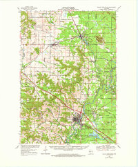
1968 · Black River Falls
USGS Topo · 1:62,500