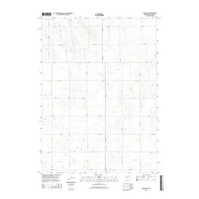
2014 Map of Neligh SW
USGS Topo · Published 2014About this map
The Lutheran Cem stands in the northwestern corner of this territory, marking a focal point for family history within the agrarian landscape of Antelope County. This 2014 survey reveals a sparse settlement pattern dominated by a precise grid of rural roads, including 848th Rd and 513th Ave, which partition the undulating terrain. The landscape is defined by the headwaters and drainages of several local streams, notably Snake Creek and Antelope Creek, which cut through the township. The presence of Clearwater Creek and Pebble Creek further illustrates the hydrological network that has influenced local land use and property boundaries for generations. This map captures the continuity of Nebraska's rural infrastructure and its enduring cemetery sites into the early twenty-first century.
Find a feature on this map
21 named features on this map. Tap any name to fly to it.
Don’t see what you’re looking for? This feature index may not catch every label — zoom into the map to look around manually.
Map Details
Editions of this 2014 Neligh SW Map
This is the sole edition of this map. No revisions or reprints were ever made.
Other maps of this area

1955 · Broken Bow
USGS Topo · 1:250,000

1955 · O'Neill
USGS Topo · 1:250,000

1956 · Broken Bow
USGS Topo · 1:250,000

1959 · O'Neill
USGS Topo · 1:250,000

1960 · Spalding 2 NE
USGS Topo · 1:24,000

1963 · Neligh
USGS Topo · 1:24,000

1963 · Neligh SE
USGS Topo · 1:24,000

1963 · Deloit
USGS Topo · 1:24,000

1963 · Neligh SW
USGS Topo · 1:24,000

1963 · Elgin NW
USGS Topo · 1:24,000