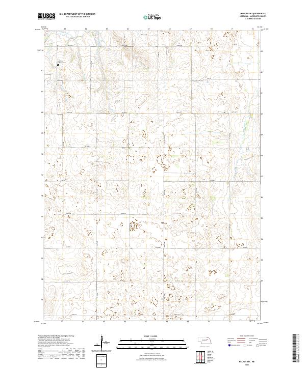
2021 Map of Neligh SW
USGS Topo · Published 2021About this map
Concordia Lutheran Cem serves as a primary historical landmark in this agricultural section of Antelope County, situated near the northern edge of the survey area. The landscape is defined by the drainage patterns of several prairie streams, including Clearwater Cr in the northwest and Snake Cr, which meanders through the central townships. The map reveals a strictly regulated section-line road grid, characteristic of the Great Plains, where routes like 513th Ave and 846th Rd provide access to isolated farmsteads. The eastern boundary is marked by the winding course of Antelope Cr, while River Rd cuts across the northern tiers, tracing the terrain's natural contours. This 2021 digital elevation and hydrography study provides a precise view of the rural township and range system at the start of the decade.
Find a feature on this map
29 named features on this map. Tap any name to fly to it.
Don’t see what you’re looking for? This feature index may not catch every label — zoom into the map to look around manually.
Map Details
Editions of this 2021 Neligh SW Map
This is the sole edition of this map. No revisions or reprints were ever made.
Other maps of this area

1955 · Broken Bow
USGS Topo · 1:250,000

1955 · O'Neill
USGS Topo · 1:250,000

1956 · Broken Bow
USGS Topo · 1:250,000

1959 · O'Neill
USGS Topo · 1:250,000

1960 · Spalding 2 NE
USGS Topo · 1:24,000

1963 · Neligh
USGS Topo · 1:24,000

1963 · Neligh SE
USGS Topo · 1:24,000

1963 · Deloit
USGS Topo · 1:24,000

1963 · Neligh SW
USGS Topo · 1:24,000

1963 · Elgin NW
USGS Topo · 1:24,000