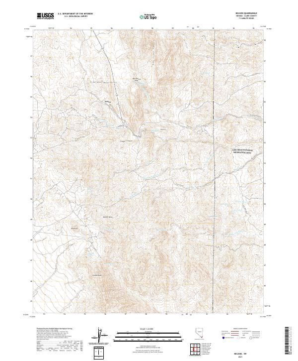
2021 Map of Nelson
USGS Topo · Published 2021About this map
Nelson lies at the heart of this desert landscape, situated within the Eldorado Mountains during the early 2020s. The settlement's proximity to Copper Canyon and the surrounding peaks suggests the area's long-standing connection to local mining interests. The topography is defined by an intricate network of washes, including Techatticup Wash, Aztec Wash, and Morning Star Wash, which drain the arid terrain toward the Lake Mead National Recreation Area visible along the eastern boundary. Notable landmarks like the Murl Emery Arch and Mt Duncan provide navigational anchors in a region where water sources are vital, represented here by scattered points such as Miners Spring, Bridge Spring, and Tule Spring. To the south, the Mojave Desert floor gives way to the prominent Ireteba Peaks and Knob Hill, marking the transition between rugged mountain ridges and the broad alluvial basins characteristic of southern Clark County.
Find a feature on this map
34 named features on this map. Tap any name to fly to it.
Don’t see what you’re looking for? This feature index may not catch every label — zoom into the map to look around manually.
Map Details
Editions of this 2021 Nelson Map
This is the sole edition of this map. No revisions or reprints were ever made.
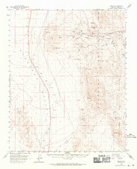
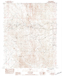
Historical Maps of Nelson Through Time
4 maps found