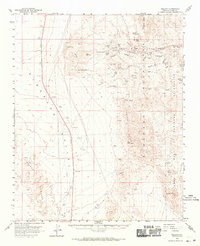
1958 Map of Nelson
USGS Topo · Published 1971About this map
Eldorado Canyon serves as the industrial and geological centerpiece of this late-1950s survey, revealing a landscape defined by an intensive mining heritage. The settlement of Nelson stands surrounded by a dense concentration of mineral claims, including the Techatticup Mine, Wall Street Mine, and Quaker City Mine. This clustering illustrates the high-stakes prospecting that drove the development of Clark County’s desert interior.
Find a feature on this map
38 named features on this map. Tap any name to fly to it.
Don’t see what you’re looking for? This feature index may not catch every label — zoom into the map to look around manually.
Map Details
Editions of this 1958 Nelson Map
2 editions found
Other maps of this area

1886 · Camp Mohave
USGS Topo · 1:250,000

1892 · Camp Mohave
USGS Topo · 1:250,000

1910 · Ivanpah
USGS Topo · 1:250,000

1912 · Ivanpah
USGS Topo · 1:250,000

1926 · Nelson
USGS Topo · 1:96,000

1926 · Mohave City
USGS Topo · 1:96,000

1942 · Camp Mohave
USGS Topo · 1:250,000

1942 · Ivanpah
USGS Topo · 1:250,000

1947 · Kingman
USGS Topo · 1:250,000

1948 · Kingman
USGS Topo · 1:250,000