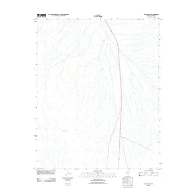
2012 Map of Nelson SW
USGS Topo · Published 2012About this map
Ten Mile Spring and Bell Number Two Spring appear as vital water sources in this arid stretch of Clark County. The landscape is defined by its drainage patterns and the heavy infrastructure required to traverse it, including the modern path of Us-95 and the utility corridor of Gas Pipeline Rd. Near the junction of local routes like Grandpas Rd, the map reveals a terrain where historical movement was dictated by the location of reliable springs. This 2012 survey illustrates how modern highway networks and energy pipelines have been overlaid across the existing natural contours and older named landmarks of the Mojave desert region.
Find a feature on this map
5 named features on this map. Tap any name to fly to it.
Don’t see what you’re looking for? This feature index may not catch every label — zoom into the map to look around manually.
Map Details
Editions of this 2012 Nelson SW Map
This is the sole edition of this map. No revisions or reprints were ever made.
Other maps of this area

1886 · Camp Mohave
USGS Topo · 1:250,000

1892 · Camp Mohave
USGS Topo · 1:250,000

1910 · Ivanpah
USGS Topo · 1:250,000

1912 · Ivanpah
USGS Topo · 1:250,000

1926 · Nelson
USGS Topo · 1:96,000

1926 · Mohave City
USGS Topo · 1:96,000

1942 · Camp Mohave
USGS Topo · 1:250,000

1942 · Ivanpah
USGS Topo · 1:250,000

1947 · Kingman
USGS Topo · 1:250,000

1948 · Kingman
USGS Topo · 1:250,000