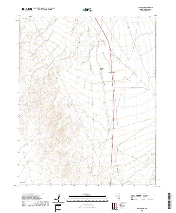
2021 Map of Nelson SW
USGS Topo · Published 2021About this map
The Eldorado Valley and parts of the northern Mojave Desert define the arid landscape of this portion of Clark County. This 2021 topographic record reveals a region primarily shaped by wide desert valleys and low-lying drainage patterns, with isolated water sources such as Ten Mile Spring and Bell Number Two Spring serving as critical landmarks in an otherwise dry environment. The topography shows the subtle transition toward the Piute Valley at the southern edge of the quadrangle.
Find a feature on this map
14 named features on this map. Tap any name to fly to it.
Don’t see what you’re looking for? This feature index may not catch every label — zoom into the map to look around manually.
Map Details
Editions of this 2021 Nelson SW Map
This is the sole edition of this map. No revisions or reprints were ever made.
Other maps of this area

1886 · Camp Mohave
USGS Topo · 1:250,000

1892 · Camp Mohave
USGS Topo · 1:250,000

1910 · Ivanpah
USGS Topo · 1:250,000

1912 · Ivanpah
USGS Topo · 1:250,000

1926 · Nelson
USGS Topo · 1:96,000

1926 · Mohave City
USGS Topo · 1:96,000

1942 · Camp Mohave
USGS Topo · 1:250,000

1942 · Ivanpah
USGS Topo · 1:250,000

1947 · Kingman
USGS Topo · 1:250,000

1948 · Kingman
USGS Topo · 1:250,000