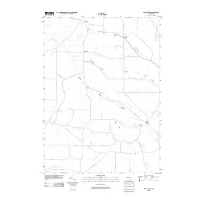
2010 Map of New Albion
USGS Topo · Published 2010About this map
New Albion and the rural townships of northwestern Cattaraugus County are defined by a network of steep-sided valleys and creek beds. The landscape is carved by Conewango Creek and Mud Creek, which flow through several hollows including Lawrence Hollow, Mosher Hollow, and Waite Hollow. This drainage system has historically dictated the placement of early settlements and roads, as seen in the cluster of small communities such as Wesley, East Leon, and Snyders Corners.
Find a feature on this map
58 named features on this map. Tap any name to fly to it.
Don’t see what you’re looking for? This feature index may not catch every label — zoom into the map to look around manually.
Map Details
Editions of this 2010 New Albion Map
This is the sole edition of this map. No revisions or reprints were ever made.
Other maps of this area

1900 · Cherry Creek
USGS Topo · 1:62,500

1905 · Jamestown
USGS Topo · 1:62,500

1922 · Randolph
USGS Topo · 1:62,500

1923 · Randolph
USGS Topo · 1:62,500

1923 · Cattaraugus
USGS Topo · 1:62,500

1938 · Cattaraugus
USGS Topo · 1:62,500

1941 · Cattaraugus
USGS Topo · 1:62,500

1941 · Cherry Creek
USGS Topo · 1:62,500

1942 · Jamestown
USGS Topo · 1:62,500

1943 · Randolph
USGS Topo · 1:62,500