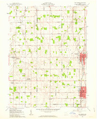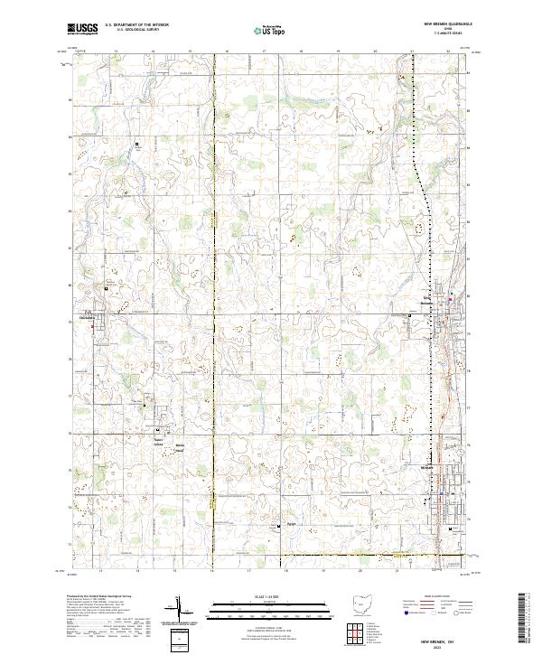
2023 Map of New Bremen
USGS Topo · Published 2023About this map
New Bremen and Minster anchor the eastern edge of this landscape, reflecting a historic settlement pattern shaped by the region’s early canal and rail corridors. The area is characterized by a dense network of country roads, such as Saint Johns Rd and Recovery-Minster Rd, connecting small rural hamlets like Maria Stein, Chickasaw, and Egypt. These communities are defined by their deep-rooted religious and family history, evidenced by landmarks such as the Maria Stein Convent Cem and Saint Augustines Cem.
Find a feature on this map
70 named features on this map. Tap any name to fly to it.
Don’t see what you’re looking for? This feature index may not catch every label — zoom into the map to look around manually.
Map Details
Editions of this 2023 New Bremen Map
This is the sole edition of this map. No revisions or reprints were ever made.