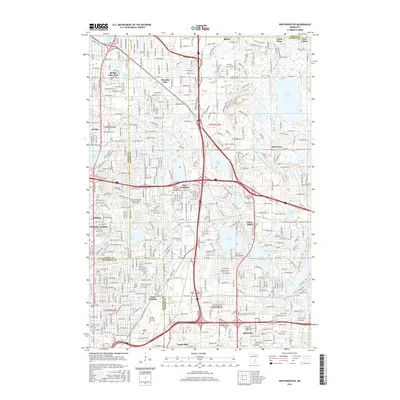
2016 Map of New Brighton
USGS Topo · Published 2016About this map
Lake Johanna and Lake Owasso anchor the suburban landscape of northern Ramsey County in this 2016 survey. The map details the dense residential and educational corridor of New Brighton and Arden Hills, where institutional campuses like Bethel Univ and the Univ of Northwestern are prominent alongside religious centers such as the United Theological Seminary of the Twin Cities. The geography is defined by a high concentration of glacial lakes, including Turtle Lake, Long Lake, and Silver Lake, which alternate with major transportation arteries such as CO Hwy 51 and the intersection of modern interstate routes. Genealogists will find significant value in the clearly marked burial grounds, from the Saint John the Baptist Catholic Cem to the expansive Sunset Memorial Park Cem, providing a precise record of the area's established memorial landscapes.
Find a feature on this map
76 named features on this map. Tap any name to fly to it.
Don’t see what you’re looking for? This feature index may not catch every label — zoom into the map to look around manually.
Map Details
Editions of this 2016 New Brighton Map
This is the sole edition of this map. No revisions or reprints were ever made.
Other maps of this area

1896 · Minneapolis
USGS Topo · 1:62,500

1896 · St. Paul
USGS Topo · 1:62,500

1901 · Minneapolis
USGS Topo · 1:62,500

1902 · White Bear
USGS Topo · 1:62,500

1902 · Anoka
USGS Topo · 1:62,500

1951 · St. Paul West
USGS Topo · 1:24,000

1951 · St. Paul East
USGS Topo · 1:24,000

1951 · St. Paul
USGS Topo · 1:62,500

1952 · Centerville
USGS Topo · 1:24,000

1952 · White Bear Lake West
USGS Topo · 1:24,000