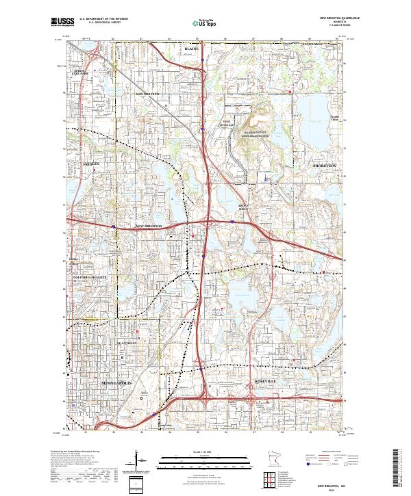
2022 Map of New Brighton
USGS Topo · Published 2022About this map
New Brighton and its surrounding suburbs serve as a dense corridor of residence and higher education within the northern Twin Cities metro. The landscape is heavily defined by its glacial heritage, featuring a high concentration of water bodies including Turtle Lake, Lake Johanna, and Long Lake. These lakes are interspersed with major institutional campuses such as the University of Northwestern, Bethel University, and the United Theological Seminary of the Twin Cities.
Find a feature on this map
81 named features on this map. Tap any name to fly to it.
Don’t see what you’re looking for? This feature index may not catch every label — zoom into the map to look around manually.
Map Details
Editions of this 2022 New Brighton Map
This is the sole edition of this map. No revisions or reprints were ever made.
Other maps of this area

1896 · Minneapolis
USGS Topo · 1:62,500

1896 · St. Paul
USGS Topo · 1:62,500

1901 · Minneapolis
USGS Topo · 1:62,500

1902 · White Bear
USGS Topo · 1:62,500

1902 · Anoka
USGS Topo · 1:62,500

1951 · St. Paul West
USGS Topo · 1:24,000

1951 · St. Paul East
USGS Topo · 1:24,000

1951 · St. Paul
USGS Topo · 1:62,500

1952 · Centerville
USGS Topo · 1:24,000

1952 · White Bear Lake West
USGS Topo · 1:24,000