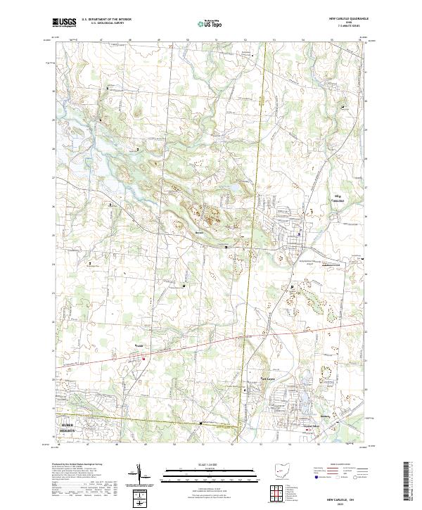
2023 Map of New Carlisle
USGS Topo · Published 2023About this map
Honey Creek and its many branches, including West Fork Honey Creek and East Fork Honey Creek, define the rolling topography of this region where Miami, Clark, and Montgomery counties meet. The city of New Carlisle serves as the primary population center, supported by smaller settlements like Brandt, Medway, and the residential clusters of Crystal Lakes and Park Layne. The landscape is a detailed record of pioneer-era heritage and family lineage, evidenced by a dense network of burial sites such as Studebaker Cem, Hickory Grove Cem, and McKendree Chapel Cem. Aviation history is present at the Andy Barnhart Memorial Airport, while the local hydrology is marked by the clear waters of Silver Lake and the engineered paths of McNeal Ditch. This modern survey illustrates the transition from rural agricultural land to organized townships, maintaining the historical road grid established by corridors like W National Rd and S Dayton Brandt Rd.
Find a feature on this map
160 named features on this map. Tap any name to fly to it.
Don’t see what you’re looking for? This feature index may not catch every label — zoom into the map to look around manually.
Map Details
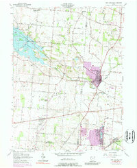
Editions of this 2023 New Carlisle Map
This is the sole edition of this map. No revisions or reprints were ever made.
Historical Maps of Park Layne Manor Through Time
Featured Locations
- Huber Heights, OH
- Country Haven Mobile Home Park, OH
- Crystal Lakes Mobile Home Park, OH
- New Carlisle, OH
- Brown, OH