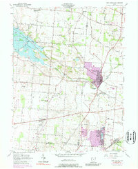
1955 Map of New Carlisle
USGS Topo · Published 1989About this map
Honey Creek and its tributaries carve a path through the agricultural landscape of Clark and Miami counties, centering on the hub of New Carlisle. This 1955 survey, updated through the mid-1980s, reveals a rural region in transition as residential clusters like Crystal Lakes and Medway expand near the southern border. The map is a valuable resource for genealogists, documenting numerous small family and community burial grounds including Studebaker Cem, Saylor Cem, and Funderburg Cem.
Find a feature on this map
69 named features on this map. Tap any name to fly to it.
Don’t see what you’re looking for? This feature index may not catch every label — zoom into the map to look around manually.
Map Details
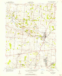
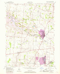
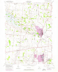
Editions of this 1955 New Carlisle Map
4 editions found
Other maps of this area

1904 · Springfield
USGS Topo · 1:62,500

1904 · Dayton
USGS Topo · 1:62,500

1906 · Dayton
USGS Topo · 1:62,500

1906 · Springfield
USGS Topo · 1:62,500

1914 · Troy
USGS Topo · 1:62,500

1914 · St. Paris
USGS Topo · 1:62,500

1916 · St. Paris
USGS Topo · 1:62,500

1944 · St. Paris
USGS Topo · 1:62,500

1944 · Troy
USGS Topo · 1:62,500

1947 · Columbus
USGS Topo · 1:250,000