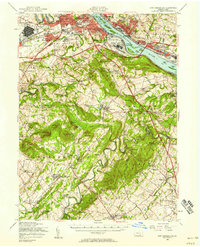
1956 Map of New Cumberland
USGS Topo · Published 1958About this map
The Susquehanna River serves as the dominant geographic divider in this mid-century survey, separating the urban density of Harrisburg and Steelton from the expanding suburbs of New Cumberland and Camp Hill. This era captures the region's critical role in national logistics, anchored by the U S Mil Res New Cumberland General Depot and the U S Mil Res Olmsted Air Force Base. While the Pennsylvania Turnpike and Harrisburg Expressway signal modern infrastructure, the landscape remains deeply tied to its agrarian and industrial past.
Find a feature on this map
124 named features on this map. Tap any name to fly to it.
Don’t see what you’re looking for? This feature index may not catch every label — zoom into the map to look around manually.
Map Details
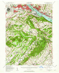
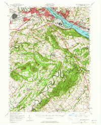
Editions of this 1956 New Cumberland Map
Other maps of this area

1892 · Hummelstown
USGS Topo · 1:62,500

1892 · Harrisburg
USGS Topo · 1:62,500

1899 · Harrisburg
USGS Topo · 1:62,500

1904 · Carlisle
USGS Topo · 1:62,500

1906 · New Cumberland
USGS Topo · 1:62,500

1907 · New Bloomfield
USGS Topo · 1:62,500

1908 · Middletown
USGS Topo · 1:62,500

1908 · Gettysburg
USGS Topo · 1:62,500

1908 · York
USGS Topo · 1:62,500

1910 · York
USGS Topo · 1:62,500