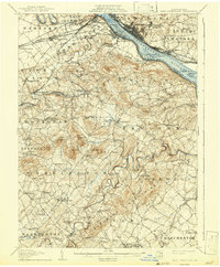
1906 Map of New Cumberland
USGS Topo · Published 1942About this map
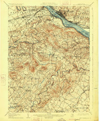
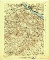
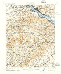
New Cumberland and the industrial hubs along the Susquehanna River define this 1905 landscape at the intersection of Cumberland, York, and Dauphin counties. The map illustrates a complex transportation network where the Pennsylvania Canal sits largely idle as the Cumberland Valley Railroad and the Northern Central Railway drive the region's economy. Settlements like Steelton and Highspire line the eastern riverbank, while the western side features smaller agricultural and milling communities such as Eberlys Mill and Lisburn. Interior valleys are dotted with local landmarks of genealogical significance, including Oakgrove Church, the Siddonsburg School, and Mt Pleasant Monaghan PO. The topography is marked by the winding courses of Yellow Breeches Creek and Conewago Creek, which once powered local industry and dictated the placement of early roads like the Harrisburg and Gettysburg Pike.
Find a feature on this map
124 named features on this map. Tap any name to fly to it.
Don’t see what you’re looking for? This feature index may not catch every label — zoom into the map to look around manually.
Map Details
Editions of this 1906 New Cumberland Map
8 editions found
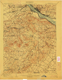
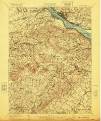
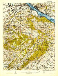
Other maps of this area

1892 · Hummelstown
USGS Topo · 1:62,500

1892 · Harrisburg
USGS Topo · 1:62,500

1899 · Harrisburg
USGS Topo · 1:62,500

1904 · Carlisle
USGS Topo · 1:62,500

1906 · New Cumberland
USGS Topo · 1:62,500

1907 · New Bloomfield
USGS Topo · 1:62,500

1908 · Middletown
USGS Topo · 1:62,500

1908 · Gettysburg
USGS Topo · 1:62,500

1908 · York
USGS Topo · 1:62,500

1910 · York
USGS Topo · 1:62,500