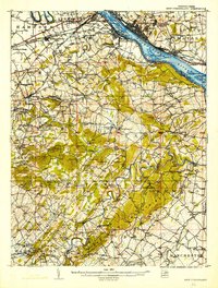
1906 Map of New Cumberland
USGS Topo · Published 1924About this map
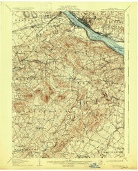
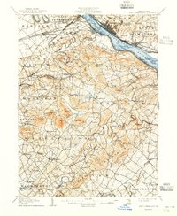
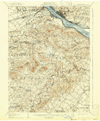
New Cumberland and Lemoyne anchor the southern bank of the Susquehanna River, serving as vital hubs for the Northern Central RR and Pittsburg Division lines at the turn of the century. The map illustrates a landscape transitioning from the riverfront industrial centers of Steelton and Highspire to the agricultural interiors of York Co. Local infrastructure of the era is remarkably detailed, showing the Pennsylvania Canal (Abandoned) alongside newer transport arteries like the Harrisburg and Gettysburg Pike.
Find a feature on this map
102 named features on this map. Tap any name to fly to it.
Don’t see what you’re looking for? This feature index may not catch every label — zoom into the map to look around manually.
Map Details
Editions of this 1906 New Cumberland Map
8 editions found
Other maps of this area

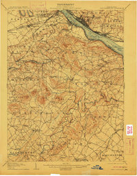
1892 · Hummelstown
USGS Topo · 1:62,500

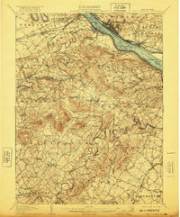
1892 · Harrisburg
USGS Topo · 1:62,500

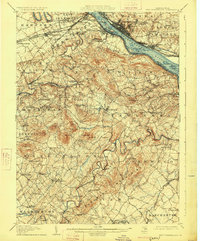
1899 · Harrisburg
USGS Topo · 1:62,500

1904 · Carlisle
USGS Topo · 1:62,500

1906 · New Cumberland
USGS Topo · 1:62,500

1907 · New Bloomfield
USGS Topo · 1:62,500

1908 · Middletown
USGS Topo · 1:62,500

1908 · Gettysburg
USGS Topo · 1:62,500

1908 · York
USGS Topo · 1:62,500

1910 · York
USGS Topo · 1:62,500