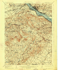
1906 Map of New Cumberland
USGS Topo · Published 1925About this map
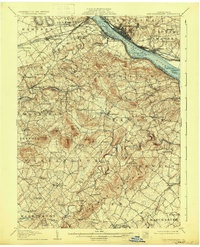
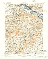
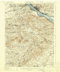
The Susquehanna River serves as the dominant artery of this early 20th-century landscape, framing a dense corridor of industry and transport where Steelton, New Cumberland, and Highspire sit at the confluence of rail and water. The map documents a pivotal moment for the Pennsylvania Canal, already marked as abandoned, while the Northern Central RR and Cumberland Valley RR define the region's commercial vitality. Beyond the riverfront, the terrain transitions into the winding valleys of Yellow Breeches Creek and Conewago Creek. Local history is deeply etched into the rural interior through named landmarks like Eberly's Mill, Siddonsburg, and Mt Pleasant Monaghan PO. From the river islands like Zimmerman Island to the higher elevations of Flat Mtn, the geography reflects a diverse economy of milling, ferry crossings such as the Middletown Ferry, and established hilltop communities.
Find a feature on this map
114 named features on this map. Tap any name to fly to it.
Don’t see what you’re looking for? This feature index may not catch every label — zoom into the map to look around manually.
Map Details
Editions of this 1906 New Cumberland Map
8 editions found
Other maps of this area

1892 · Hummelstown
USGS Topo · 1:62,500

1892 · Harrisburg
USGS Topo · 1:62,500

1899 · Harrisburg
USGS Topo · 1:62,500

1904 · Carlisle
USGS Topo · 1:62,500

1906 · New Cumberland
USGS Topo · 1:62,500

1907 · New Bloomfield
USGS Topo · 1:62,500

1908 · Middletown
USGS Topo · 1:62,500

1908 · Gettysburg
USGS Topo · 1:62,500

1908 · York
USGS Topo · 1:62,500

1910 · York
USGS Topo · 1:62,500