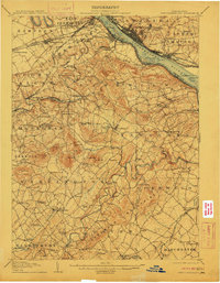
1906 Map of New Cumberland
USGS Topo · Published 1911About this map
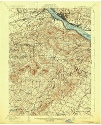
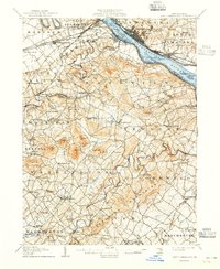
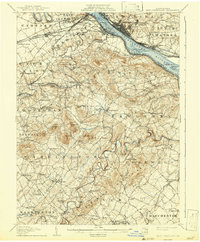
The Susquehanna River serves as the dominant geographic and economic artery for this region of Pennsylvania, with New Cumberland and Steelton anchoring its opposite banks. The landscape is a dense network of early industrial and transportation systems, including the Pennsylvania Railroad and the Cumberland Valley Railroad which crisscross the northern townships. In the rural interior, local history is preserved through the specific names of farm-to-market hubs like Eberly Mill and the many rural institutions such as Eleanor Schoolhouse and Mt Zion Church.
Find a feature on this map
132 named features on this map. Tap any name to fly to it.
Don’t see what you’re looking for? This feature index may not catch every label — zoom into the map to look around manually.
Map Details
Editions of this 1906 New Cumberland Map
8 editions found
Other maps of this area

1892 · Hummelstown
USGS Topo · 1:62,500

1892 · Harrisburg
USGS Topo · 1:62,500

1899 · Harrisburg
USGS Topo · 1:62,500

1904 · Carlisle
USGS Topo · 1:62,500

1906 · New Cumberland
USGS Topo · 1:62,500

1907 · New Bloomfield
USGS Topo · 1:62,500

1908 · Middletown
USGS Topo · 1:62,500

1908 · Gettysburg
USGS Topo · 1:62,500

1908 · York
USGS Topo · 1:62,500

1910 · York
USGS Topo · 1:62,500