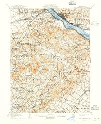
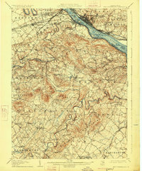
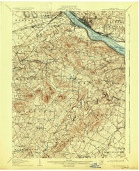
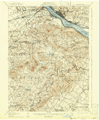
1906 Map of New Cumberland
USGS Topo · Published 1942About this map
Yellow Breeches Creek and the Susquehanna River anchor this landscape, where early 20th-century transportation networks defined the growth of Cumberland and York Counties. The map records a critical moment of industrial transition, showing the Pennsylvania Canal as already abandoned while the Pennsylvania RR and Cumberland Valley RR dominated the corridor through Lemoyne and New Cumberland.
Find a feature on this map
119 named features on this map. Tap any name to fly to it.
Don’t see what you’re looking for? This feature index may not catch every label — zoom into the map to look around manually.
Map Details
Editions of this 1906 New Cumberland Map
8 editions found
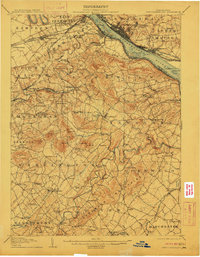
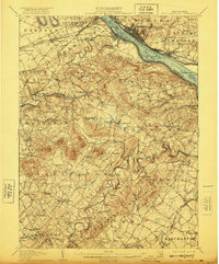
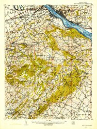
Other maps of this area

1892 · Hummelstown
USGS Topo · 1:62,500

1892 · Harrisburg
USGS Topo · 1:62,500

1899 · Harrisburg
USGS Topo · 1:62,500

1904 · Carlisle
USGS Topo · 1:62,500

1906 · New Cumberland
USGS Topo · 1:62,500

1907 · New Bloomfield
USGS Topo · 1:62,500

1908 · Middletown
USGS Topo · 1:62,500

1908 · Gettysburg
USGS Topo · 1:62,500

1908 · York
USGS Topo · 1:62,500

1910 · York
USGS Topo · 1:62,500