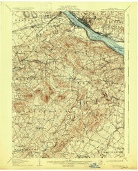
1906 Map of New Cumberland
USGS Topo · Published 1933About this map
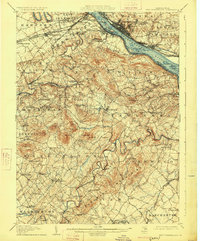
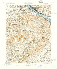
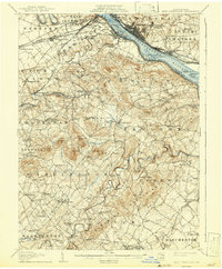
New Cumberland and Lemoyne serve as the focal points along the Susquehanna River on this early twentieth-century survey. The landscape is defined by the winding course of Yellow Breeches Creek and Conewago Creek, which carve through the undulating terrain of Fairview and Newberry townships. Transport networks are in a state of transition, visible where the Pennsylvania RR and Northern Central RR run parallel to the remnants of the Pennsylvania Canal (Abandoned) near Highspire. Local life is anchored by family-named landmarks and rural institutions, including Fortney PO, Eberlys Mill, and several community hubs like Salem Church and the Shafer Schoolhouse. The presence of Spades Wharf I and Little Stony I along the river highlights the historical importance of the waterway for regional commerce and navigation before the further expansion of modern infrastructure.
Find a feature on this map
117 named features on this map. Tap any name to fly to it.
Don’t see what you’re looking for? This feature index may not catch every label — zoom into the map to look around manually.
Map Details
Editions of this 1906 New Cumberland Map
8 editions found
Other maps of this area

1892 · Hummelstown
USGS Topo · 1:62,500

1892 · Harrisburg
USGS Topo · 1:62,500

1899 · Harrisburg
USGS Topo · 1:62,500

1904 · Carlisle
USGS Topo · 1:62,500

1906 · New Cumberland
USGS Topo · 1:62,500

1907 · New Bloomfield
USGS Topo · 1:62,500

1908 · Middletown
USGS Topo · 1:62,500

1908 · Gettysburg
USGS Topo · 1:62,500

1908 · York
USGS Topo · 1:62,500

1910 · York
USGS Topo · 1:62,500