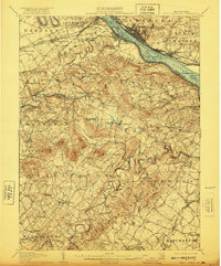
1906 Map of New Cumberland
USGS Topo · Published 1921About this map
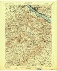
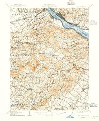
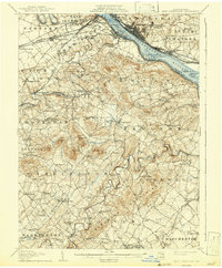
The Susquehanna River dominates the eastern edge of this landscape, serving as a corridor for the Pennsylvania RR and the Northern Central RR at the turn of the century. The map documents a dense network of early 20th-century transportation and commerce, including Spades Wharf and the Harrisburg and Chambersburg Pike. In the surrounding countryside, the winding course of Yellow Breeches Creek defines the boundaries of Lower Allen and Fairview, while smaller communities like Lisburn and Eberlys Mill dot the interior.
Find a feature on this map
125 named features on this map. Tap any name to fly to it.
Don’t see what you’re looking for? This feature index may not catch every label — zoom into the map to look around manually.
Map Details
Editions of this 1906 New Cumberland Map
8 editions found
Other maps of this area

1892 · Hummelstown
USGS Topo · 1:62,500

1892 · Harrisburg
USGS Topo · 1:62,500

1899 · Harrisburg
USGS Topo · 1:62,500

1904 · Carlisle
USGS Topo · 1:62,500

1906 · New Cumberland
USGS Topo · 1:62,500

1907 · New Bloomfield
USGS Topo · 1:62,500

1908 · Middletown
USGS Topo · 1:62,500

1908 · Gettysburg
USGS Topo · 1:62,500

1908 · York
USGS Topo · 1:62,500

1910 · York
USGS Topo · 1:62,500