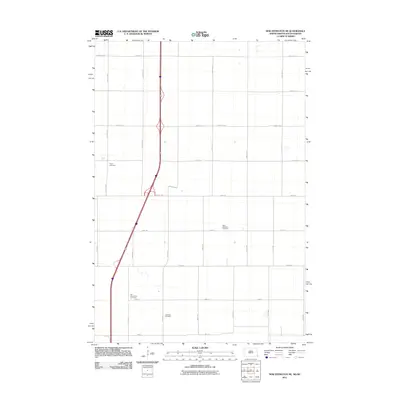
2011 Map of New Effington NE
USGS Topo · Published 2011About this map
The Roberts County plains of the Lake Traverse District are defined by a regular grid of section lines and isolated burial sites in this early 21st-century survey. The landscape is primarily agrarian, punctuated by several quiet landmarks of local genealogy including Saint Nicholaus Cemetery and the Old Brandvold Cemetery. Modern transportation corridors cut through the traditional township layout, with Interstate 29 running north-south alongside County Rd 1 and County Rd 22 providing east-west access. Other significant historical markers for family researchers include Tyson Cemetery in the northwest and Lakeview Cemetery further south. The map reflects a rural environment where the placement of these cemeteries often suggests the locations of former pioneer church congregations or early settlement nodes that predate the modern interstate system.
Find a feature on this map
27 named features on this map. Tap any name to fly to it.
Don’t see what you’re looking for? This feature index may not catch every label — zoom into the map to look around manually.
Map Details
Editions of this 2011 New Effington NE Map
This is the sole edition of this map. No revisions or reprints were ever made.
Other maps of this area

1904 · Wahpeton
USGS Topo · 1:125,000

1915 · White Rock
USGS Topo · 1:62,500

1917 · New Effington
USGS Topo · 1:62,500

1918 · White Rock
USGS Topo · 1:62,500

1953 · Milbank
USGS Topo · 1:250,000

1953 · Fargo
USGS Topo · 1:250,000

1956 · Fargo
USGS Topo · 1:250,000

1958 · Milbank
USGS Topo · 1:250,000

1964 · Hankinson
USGS Topo · 1:24,000

1964 · Hankinson SE
USGS Topo · 1:24,000
Featured Places
- Lake Traverse District, SD
- Greendale Township, ND
- Heipa District
- LaMars Township, ND
- Richland County, ND