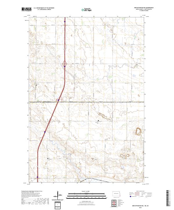
2024 Map of New Effington NE
USGS Topo · Published 2024About this map
Agricultural prairie and wetland pockets characterize this borderlands terrain where the state line of North Dakota South Dakota divides the landscape. The quadrangle is marked by several historical burial sites that offer significant value for genealogical research, including the Old Brandvold Cem and the nearby Brandvold Cem. Moving north across the boundary into Richland County, the Saint Nicholaus Cem and Tyson Cem sit among a network of section-line roads like Co Rd 22 and 100th St SE. The map provides a detailed view of the Public Land Survey System divisions, clearly delineating townships such as t129n r49w and t128n r49w, illustrating the geometric precision of the region's rural development and land management.
Find a feature on this map
21 named features on this map. Tap any name to fly to it.
Don’t see what you’re looking for? This feature index may not catch every label — zoom into the map to look around manually.
Map Details
Editions of this 2024 New Effington NE Map
This is the sole edition of this map. No revisions or reprints were ever made.
Other maps of this area

1904 · Wahpeton
USGS Topo · 1:125,000

1915 · White Rock
USGS Topo · 1:62,500

1917 · New Effington
USGS Topo · 1:62,500

1918 · White Rock
USGS Topo · 1:62,500

1953 · Milbank
USGS Topo · 1:250,000

1953 · Fargo
USGS Topo · 1:250,000

1956 · Fargo
USGS Topo · 1:250,000

1958 · Milbank
USGS Topo · 1:250,000

1964 · Hankinson
USGS Topo · 1:24,000

1964 · Hankinson SE
USGS Topo · 1:24,000
Featured Places
- Greendale Township, ND
- Heipa District
- Lake Traverse District, SD
- LaMars Township, ND
- Richland County, ND