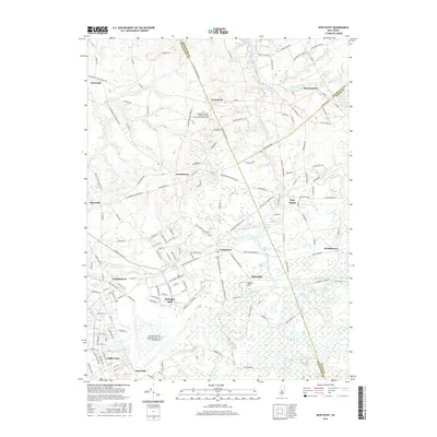
2016 Map of New Egypt
USGS Topo · Published 2016About this map
McGuire AFB and the northern reaches of Fort Dix dominate the southern landscape of this 2016 survey, where the heavy infrastructure of Mc Guire Field meets the rural agricultural lands of the New Jersey interior. This map records the modern footprint of these critical military installations alongside the historic villages of New Egypt, Jacobstown, and Arneytown. The terrain is defined by the headwaters and runs of the Atlantic drainage, including Crosswicks Creek, Lahaway Creek, and North Run.
Find a feature on this map
165 named features on this map. Tap any name to fly to it.
Don’t see what you’re looking for? This feature index may not catch every label — zoom into the map to look around manually.
Map Details
Editions of this 2016 New Egypt Map
This is the sole edition of this map. No revisions or reprints were ever made.
Other maps of this area

1884 · Whitings
USGS Topo · 1:62,500

1888 · Bordentown
USGS Topo · 1:62,500

1888 · Pemberton
USGS Topo · 1:62,500

1888 · Cassville
USGS Topo · 1:62,500

1888 · Whitings
USGS Topo · 1:62,500

1893 · Bordentown
USGS Topo · 1:62,500

1894 · Cassville
USGS Topo · 1:62,500

1894 · Pemberton
USGS Topo · 1:62,500

1898 · Pemberton
USGS Topo · 1:62,500

1900 · Cassville
USGS Topo · 1:62,500
Featured Places
- Plumsted Township, NJ
- Upper Freehold Township, NJ
- Chesterfield Township, NJ
- Springfield Township, NJ
- Wrightstown, NJ