Loading...
Loading map...2022 Map of New Goshen
USGS Topo · Published 2022About this map
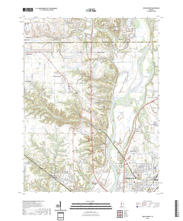
Saint Mary-of-the-Woods College anchors the southwestern quadrant of this landscape, situated near St. Mary of the Woods and Barnhart Town. The terrain is defined by the winding course of the Wabash River, which is paralleled by the historical path of the Wabash and Erie Canal. This corridor shows a mix of industrial history and institutional development, with former mining sites such as Pine Ridge Mine Pond and Grant Mine Pond located west of the river.
Find a feature on this map
93 named features on this map. Tap any name to fly to it.
Don’t see what you’re looking for? This feature index may not catch every label — zoom into the map to look around manually.
Map Details
Date Portrayed2022
Date Published2022
PublisherU.S. Geological Survey
Map TypeTopographic
Scale1:24000
Physical Dimensions24 x 29 inches
Editions of this 2022 New Goshen Map
This is the sole edition of this map. No revisions or reprints were ever made.
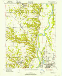
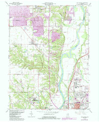
Historical Maps of Needmore Through Time
3 maps found
Featured Locations
Source Details
SourceU.S. Geological Survey
CopyrightPublic Domain