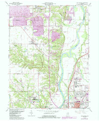
1963 Map of New Goshen
USGS Topo · Published 1987About this map
St Mary-of-the-Woods College and the surrounding village of St Mary-of-the-Woods anchor the southwestern portion of this landscape as it appeared in the mid-20th century. The area is defined by the winding course of the Wabash River, which separates the northern reaches of Terre Haute from the rural coal and gravel lands to the west. Industrial activity is evident in the presence of the Pine Ridge Mine Pond and Grant Mine Pond, alongside several gravel pits that pock the terrain near Shepardsville and Sycamore Park.
Find a feature on this map
57 named features on this map. Tap any name to fly to it.
Don’t see what you’re looking for? This feature index may not catch every label — zoom into the map to look around manually.
Map Details
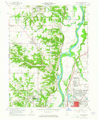
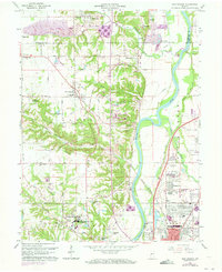
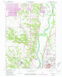
Editions of this 1963 New Goshen Map
4 editions found
Other maps of this area

1932 · Marshall
USGS Topo · 1:62,500

1937 · Marshall
USGS Topo · 1:62,500

1941 · Seelyville
USGS Topo · 1:24,000

1941 · Terre Haute
USGS Topo · 1:24,000

1942 · Dennison
USGS Topo · 1:24,000

1947 · Paris
USGS Topo · 1:62,500

1948 · Terre Haute
USGS Topo · 1:24,000

1949 · Paris
USGS Topo · 1:62,500

1950 · Rosedale
USGS Topo · 1:24,000

1950 · New Goshen
USGS Topo · 1:24,000